Park Information
Bumdeling forms the easternmost range for the wintering ground of the endangered Black-necked crane, and is the only place in Bhutan where Bhutan’s Swallowtail was rediscovered after a long gap since its first discovery in 1932.
- Location: Covers three eastern districts of the country
- Total Area: 1520.61 km2
- The Bumdeling floodplain was declared a RAMSAR site, a wetland of international importance in 2012, one of only three in Bhutan
- In March 2012, BWS was proposed as a UNESCO World Heritage site for its cultural and natural heritage importance

Faunal and Floral Diversity
Faunal and floral diversity under the Bumdeling Wildlife Sanctuary
Species of mammals
0
species of birds
300
species of butterflies
200
species of snakes
0
species of lizards
0
species of plants
700
Risk and Threats
Habitat Loss
Habitats within the sanctuary continue to change from natural disasters and direct human interventions such as construction, collection of forest products, and littering
Flash Floods
The efforts to tame the Kholong river, one of the main river systems in the park, have been only temporarily effective and there is always the danger of flash floods
Climate change
The 2012 BWS socio-economic survey indicated that 94% of the households in Bumdeling believed that climate change was threatening the area, indicating warmer climate, less snow, and erratic rainfall
Species protection
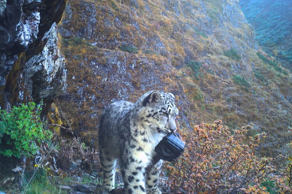
The most vulnerable species within BWS are the Tiger, Snow leopard, Musk deer, and the Black-necked crane.Threats include poaching, habitat change and disturbances, and retaliatory killing
Reduction in feeding areas
The abandonment of marginal paddy fields by farmers due to poor fertility, crop damage by wildlife and erosion of paddy fields by the Kholong river threatens to reduce the feeding area for the Black-necked crane
Developmental activities
BWS's Future with Bhutan for Life
Increased tiger and snow leopard populations
Degraded lands within BWS mapped and restored with climate-smart mechanisms
SMART patrolling implemented in BWS
Park staff trained for effective anti-poaching operations
Forest quality and extent is maintained
New nature-based local enterprises implemented
Watersheds fully protected and effectively managed
Park communities implement climate-smart organic agriculture
BWS equipped with adequate and competent staff as well as essential equipment and infrastructure
Inhabitants
people reside inside the Parks
0
Livelihoods
Residents are primarily farmers who mainly on agriculture for livelihood
Camping and Trekking Sites
The Aja Valley cultural track, Singye Dzong, RigsumGonpa, Phuningla, and the few other nature trails such as Dongla trek and Pangla trek
Major Projects
Breathing Green: Bhutan, Home to 1008 Million Trees and Carbon-Slashing Wonder
Management Plan
This conservation management plan describes in details the importance of the park in ensuring biological continuity and ecosystem integrity, human communities and economic status; experiences and challenges, achievements from the past conservation management plan, threats and strategic actions for next 10 years. This plan also includes implementation work plans with budget outlay, monitoring, and evaluation approach for the planned activities.

