Park Information
JSWNP links Jigme Dorji National Park and the Wangchuck Centennial National Park through the biological corridors in the north and is directly with the Royal Manas National Park in the south, thus providing connectivity between the southern and northern protected areas
- Fact: Third Largest National Park in Bhutan
- Total Area: 1723 km2
- Location: Centre of Bhutan
- Park is a water source for various mega hydropower projects
- Only park in the country trekked by tourists through its paradisiacal alpine meadows and snow-capped mountains
- The park represents an important migratory corridor, especially for tigers and altitudinal migratory birds

Faunal and Floral Diversity
Faunal and floral diversity under the Bumdeling Wildlife Sanctuary
Species of mammals
0
species of birds
250
species of butterflies
130
species of fish
0
species of medicinal plants
400
Risk and Threats
Habitat fragmentation & degradation from developmental infrastructure habitat
It is predicted that impending developmental activities such as construction of roads, phone towers, and hydropower projects will lead to harming the park’s habitats and wildlife population
Human-wildlife conflict poaching
The main species targeted for poaching include Musk deer, Snow leopard, and Red panda
Unregulated cattle grazing
JSWNP serves as a grazing ground for numerous herds of cattle from the adjoining areas of the park. There have been many instances of over-grazing
Climate change
It is expected that the current scenario of climate change will lead to habitat loss in the park.The lack of human and financial resources is a major constraint to address these threats
JSWNP's Future with Bhutan for Life
Increased tiger populations
Degraded lands within JSWNP mapped and restored with climate-smart mechanisms
SMART patrolling implemented in BWS
JSWNP equipped with adequate and competent staff as well as essential equipment and infrastructure
An innovative Human-wildlife Conflict mitigation mechanism implemented in JSWNP
Park staff trained for effective anti-poaching operations
Eco-lodges and eco-treks designed and implemented
Forest quality and extent is maintained
New nature-based local enterprises implemented
Watersheds fully protected and effectively managed
Inhabitants
individuals live in three villages under the Park
0
Camping and Trekking Sites
A number of ancient trails used of Bhutan’s earliest ancestors
The park developed two trekking trails designed for the winter month:
i. The Nabji-Korphu trail (6 days and 5 nights trek)
ii. Adha-rukha trail (5 days and 4 nights trek)
i. The Nabji-Korphu trail (6 days and 5 nights trek)
ii. Adha-rukha trail (5 days and 4 nights trek)
Major Projects
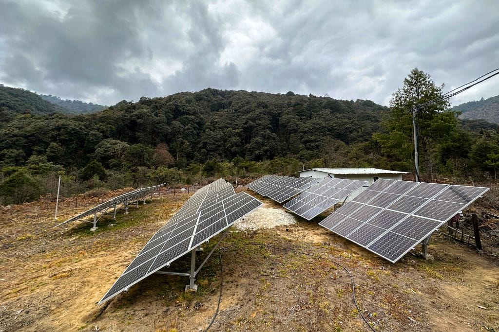
Bringing light to one of the highest communities of Himalayas.
Management Plans
This conservation management plan describes in details the importance of the park in ensuring biological continuity and ecosystem integrity, human communities and economic status; experiences and challenges, achievements from the past conservation management plan, threats and strategic actions for next 10 years. This plan also includes implementation work plans with budget outlay, monitoring, and evaluation approach for the planned activities.


