National Forest Inventory
©Department of Forests and Park Services
National Forest Inventory (NFI)
The National Forest Inventory (NFI) is a systematic process of gathering data and information to assess and analyze forest resources on a national scale. Its main goal is to offer comprehensive insights into the state and dynamics of forest resources, enabling strategic and management planning based on trends and conditions observed over time. Bhutan has a historical record of conserving a significant percentage of its land area under forest cover and has periodically monitored changes through land cover assessments or mappings using remote sensing technologies in 1995, 2010, and 2016. In 2021, Bhutan initiated its 2nd NFI, conducting field work from July 2021 to June 2022, completing the data collection process.
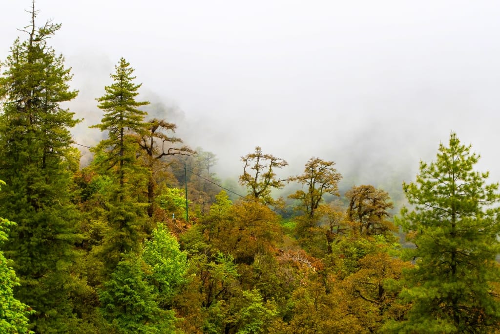
Broadleaved Forest

Rangers during the survey
Bhutan's Forest sequester 11 million tonnes of Carbon Dioxide annually
Methodology
Data was collected from 1,969 cluster plot out of the total 2,424 cluster plots (CP) spread across the country. Additionally, the understorey above-ground biomass carbon data and soil organic carbon data was collected from 354 CP, and Quality Assurance and Quality Control (QAQC) was conducted in 258 CP over one year. The data cleansing, analysis and report preparation was completed during July 2022- June 2023. In addition to field data collected, inaccessible/non-response plots were accounted for the estimation of forest area by overlaying the Forest Type Map of Bhutan 2022 and Land Use and Land Cover Map 2016 on QGIS software, and, validated using high resolution google earth imageries, Open Foris Collect Earth.
State of Forest
69.71% (2.68 million ha) of the total land area is Forest. 67.99 % of the Forests in Bhutan are Broadleaved Forest while Coniferous Forest accounts for only 32.01% of Bhutan’s Forest. Cool Broadleaved Forest and Warm Broadleaved Forest together account for 53.16 % of the total Forest area in Bhutan. There are approximately 1, 008 million trees in Bhutan’s forests. One hectare of forest contains 377 trees. Bhutan forest grows approximately by 0.42 m2 per hectare per year in basal area. The broadleaved forest grows faster than coniferous forest.
State of Forest Carbon
The total carbon stock of Bhutan is approximately 609 million tonnes. Bhutan’s Forest stores 524 million tonnes of carbon while 85 million tonnes is stored in Non-Forest land. Aboveground Biomass (AGB) represents 46% of the total carbon stock with 246 million tonnes of carbon equivalent to 91.91 tonnes per ha. About 67 million tonnes of carbon are stored in the form of Belowground Biomass (BGB) while every hectare stores 25.17 tonnes. 8 million tonnes of carbon are stored in Dead Wood equivalent to 3.16 tonnes per ha. Litter stores 20 million tonnes of carbon and 7.37 tonnes per ha. About 182 million tonnes (68.12 tonnes per ha) of carbon are stored in SoilOrganic Carbon (SOC). 66 % of the total carbon is stored in Broadleaved Forest While the Coniferous Forest stored 34 % of the total carbon stock.
Report Findings
- 69.71% (2.68 million ha) of the total land area is Forest.
- The total carbon stock of Bhutan is approximately 609 million tonnes.
- Bhutan’s Forest stores 524 million tonnes of carbon while 85 million tonnes is stored in Non-Forest land.
- Bhutan forest grows approximately by 0.42 m2 per hectare per year in basal area.
- The biggest tree was found in Kazhi Gewog, Wangdue Phodrang with DBH and Height of 260cm and 83.3m respectively - Cupressus Corneyana (Tsenden Shing).
